Collect data directly in the field
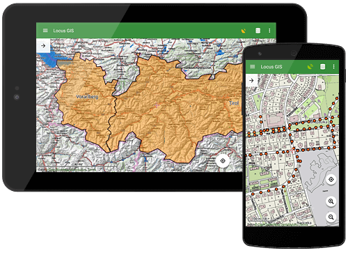
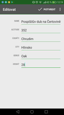
Mobile or tablet is a great tool for collecting and editing data directly in terrain. Thanks to Locus GIS you can save the position and simply attach the key attributes.

![]()
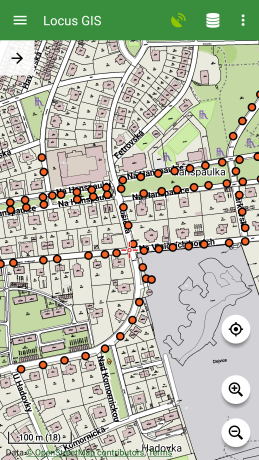
Mobile or tablet is a great tool for collecting and editing data directly in terrain. Thanks to Locus GIS you can save the position and simply attach the key attributes.
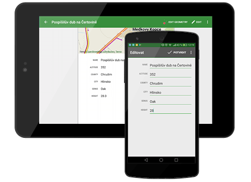
You can update the positions, parameters and properties immediately according to the real situation and you don’t have to wait until you’re back in the office. Then export your updated data back to your PC.
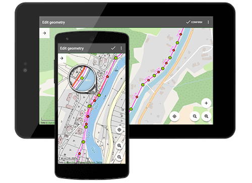
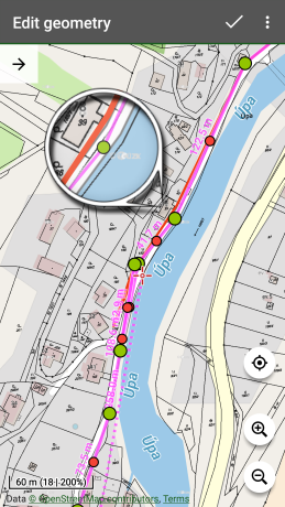
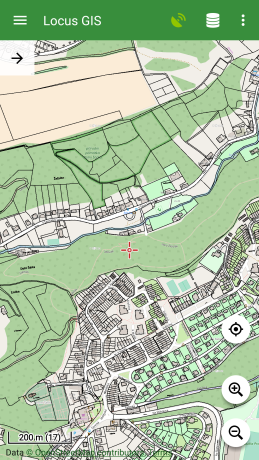
Why convert your data when you can work directly with your source files in the field? Locus GIS allows you to view and edit SHP files. Edit the position and shape of lines, polygons, or point elements. You can customize your own styles and colors.
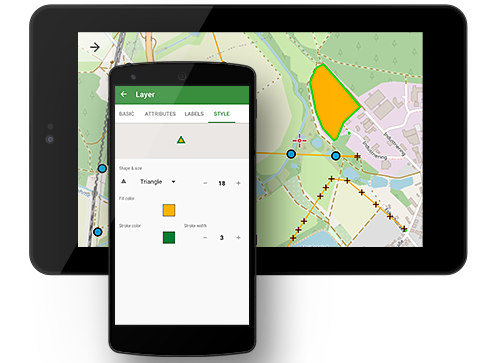
Select icons and color for your feature points, line styles, and fillings for polygons. You can also configure the content and style of feature labels.
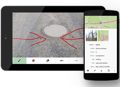
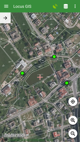
For even more detailed information about your project features, you can add photos, audio, video, and personalized sketches to them.
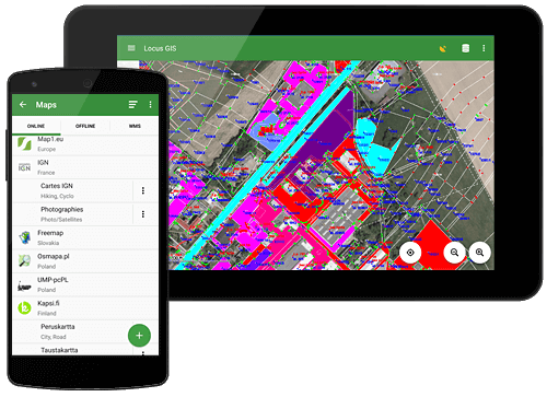
You can attach any WMS, online or offline map to your data. Cache map tiles for fast screen response or download LoMaps - our worldwide offline maps.
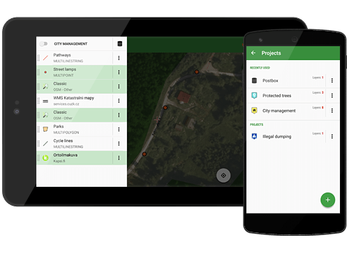
Divide your activity into partial projects. In each project, you can attach different underlying maps and SHP files in the form of vector layers.
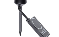
We are pleased to announce that Locus GIS now seamlessly integrates with the GLRM RTK GNSS […]
more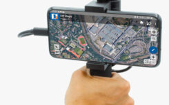
In the ever-evolving world of geospatial technology, precision is paramount. That’s why we’d like to highlight […]
more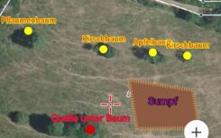
Reforestation and conservation efforts require accurate mapping of existing meadows. The Locus GIS application has proven […]
moreLocus GIS is developed by an independent software company Asamm Software. We focus on the development of mobile applications for the Android platform. Our other product is the application Locus Map that belongs to the most popular and most downloaded applications in the Travel & Local section of the Google Play Store.